Dreaming about mornings along the harbor, afternoons on the Cliff Walk, and sunset dinners by the docks? If you are drawn to Newport’s maritime energy and ocean views, you also want a clear picture of daily life, costs, and seasonal rhythms. This guide breaks down neighborhoods, logistics, events, and practical checks so you can choose the right fit with confidence. Let’s dive in.
What waterfront living feels like
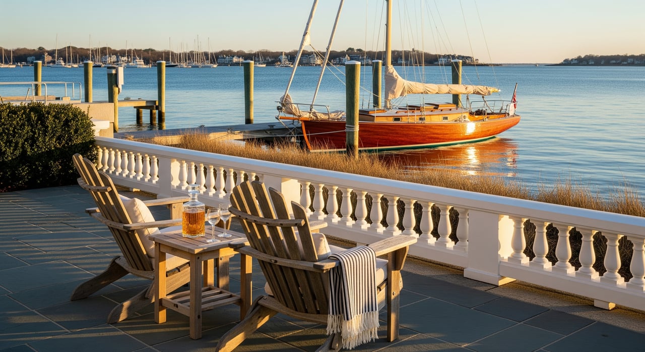
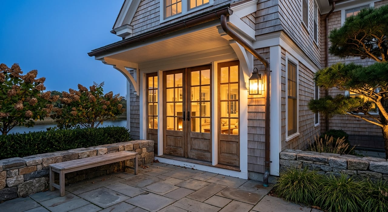
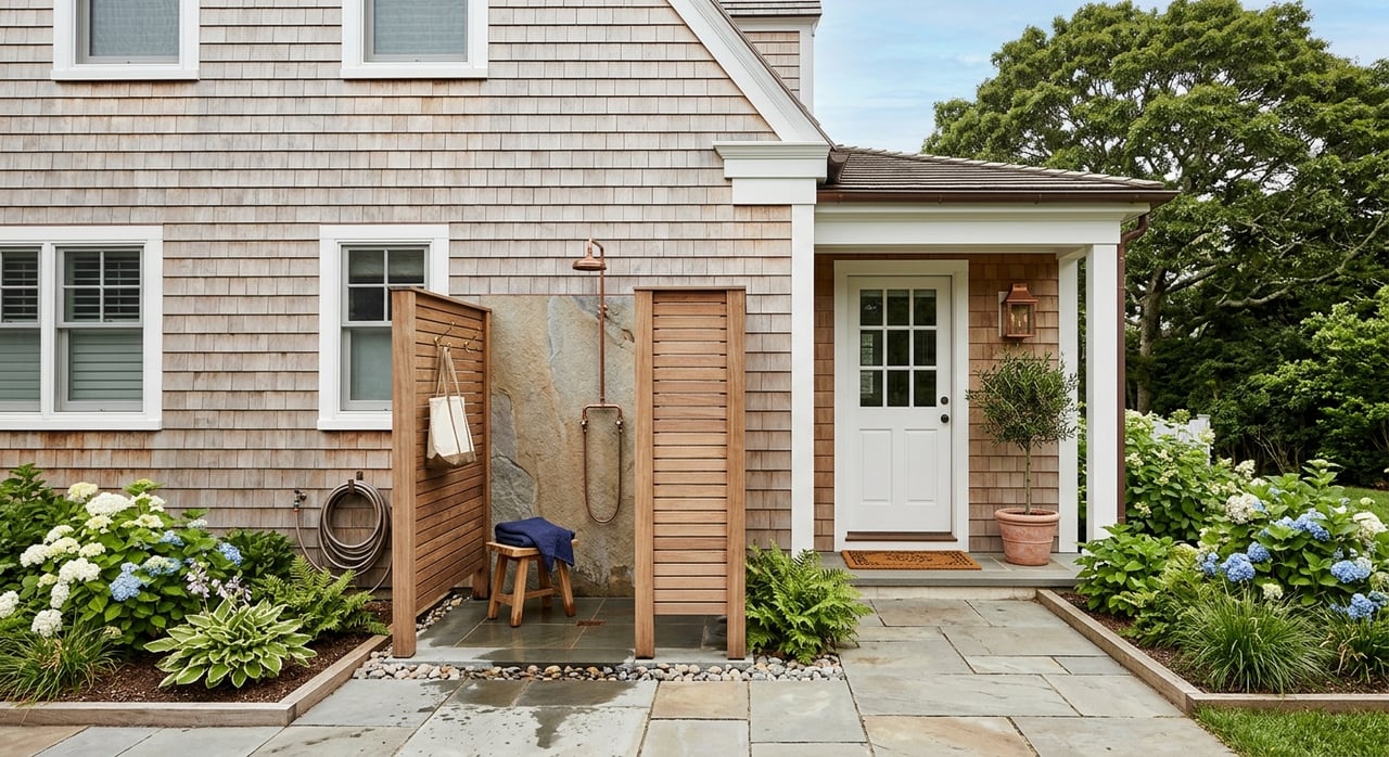
Newport’s waterfront puts you close to marinas, sailing schools, and a lively, walkable downtown centered on Thames Street and Bowen’s Wharf. You will find galleries, cafes, and restaurants clustered by the harbor, with boats coming and going all season. Everyday outdoor time is easy thanks to the Cliff Walk, public beaches, and Fort Adams State Park. For many residents, the mix of history, water access, and compact scale is the appeal.
The seasonal rhythm and how to plan
Summer is high season, with more traffic, limited parking, and busy restaurants. Festival weeks and the Newport International Boat Show can fill slips, moorings, and lodging fast. Off-season brings a quieter pace and shorter hours at some businesses. Plan ahead for reservations in summer and enjoy extra elbow room from late fall through spring.
Neighborhoods by lifestyle fit
Each pocket offers a different rhythm. Newport is compact, but walkability, parking, and noise levels shift block by block.
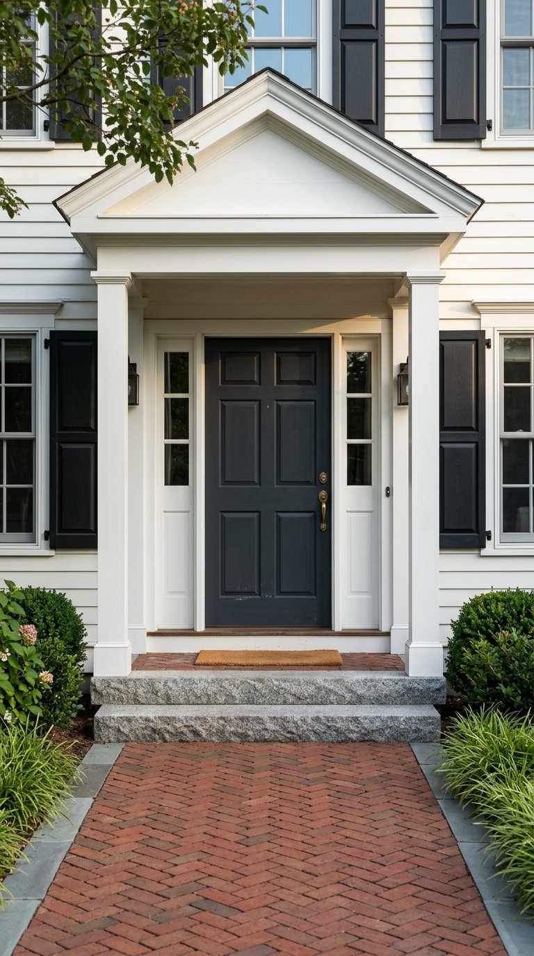
Downtown waterfront: Thames Street & Bowen’s Wharf
- Best if you want walkable dining, galleries, and a vibrant, urban harbor vibe.
- Expect heavy summer foot traffic and limited private parking for some buildings.
- Housing: condos, historic rowhouses, and some apartments with fewer large yards.
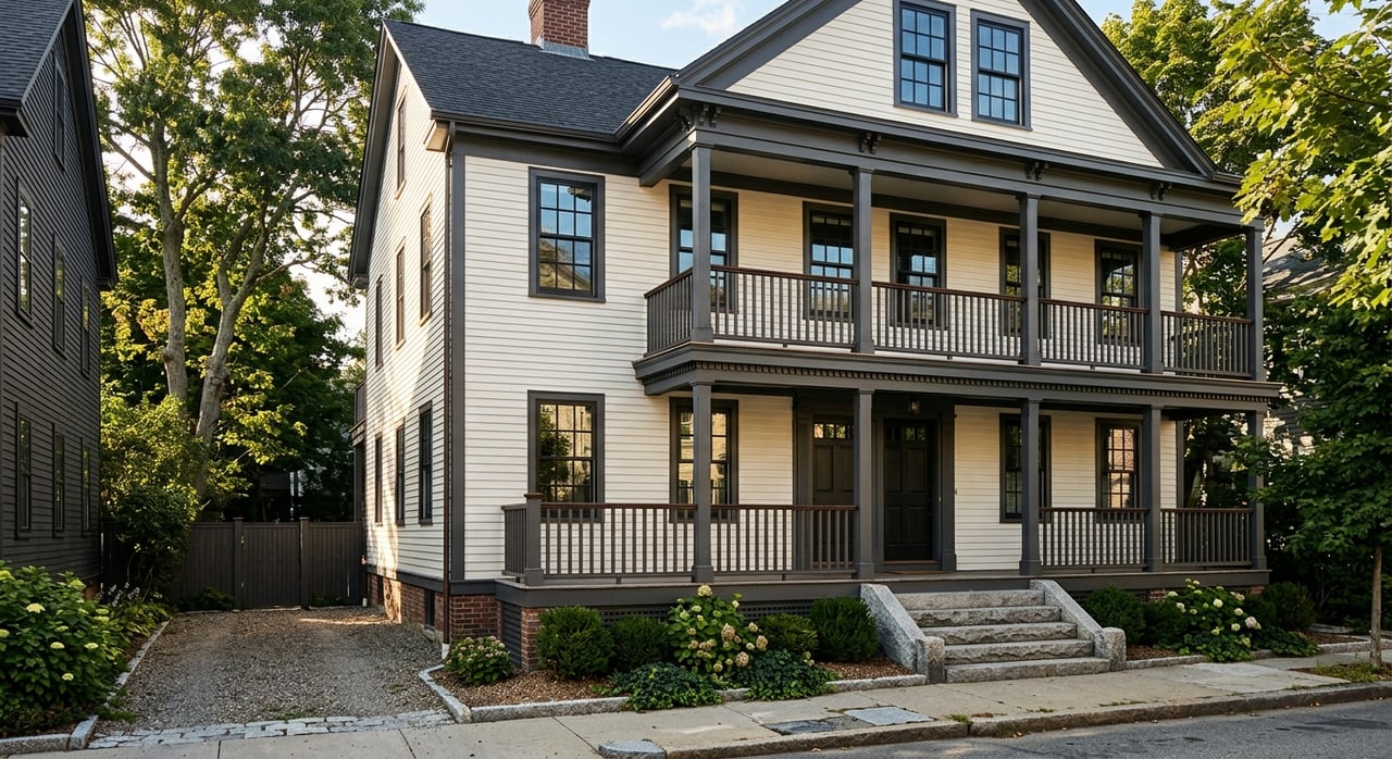
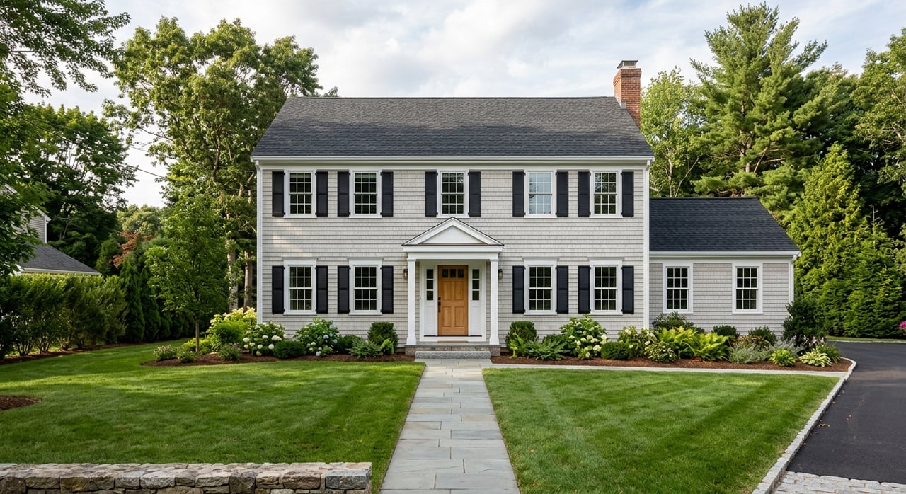
Bellevue Avenue & the Cliff Walk
- Best if you love history, architecture, and quieter streets near ocean vistas.
- Close to the Cliff Walk and cultural attractions with a heritage feel.
- Housing: larger historic homes and estates, some converted properties.
Beaches and open space: The Point, Easton’s Beach, Brenton Point
- Best if you prioritize beach time, green space, and fresh ocean air.
- Seasonal crowds peak in summer; weekdays and off-season are calmer.
- Housing: single-family homes and select beachfront condos.
Goat Island & America’s Cup Avenue marina corridor
- Best if boating is central to your life and you want slip or mooring access nearby.
- You will be near marinas, boatyards, and marine services with seasonal traffic.
- Housing: condominiums with harbor views and select small parcels near dock access.
Quieter residential pockets and nearby towns
- Third/Seventh Ward and Newport Heights offer more residential calm and yard space.
- Middletown brings additional beaches and shopping with a suburban feel.
- Portsmouth offers a more rural/suburban vibe and quicker access north via bridges.
Daily logistics that matter
Living by the water is a lifestyle choice. A few practical checks will help you dial in the right fit.
Getting around
Newport sits on Aquidneck Island with primary mainland access via the Claiborne Pell Bridge on RI Route 138. Expect bottlenecks during peak summer weekends and big events. For status and travel planning, use the Rhode Island Department of Transportation.
- Typical drive times vary with traffic: Providence 30–45 minutes; TF Green Airport 35–60 minutes; Boston 1.5–2 hours.
- Public transit is available, but planning is key. Check routes and schedules with the Rhode Island Public Transit Authority.
- Seasonal ferries run on limited schedules. Confirm routes and dates before relying on them for commuting.
Internet and remote work
Most addresses have cable internet options, with fiber or fixed wireless varying by location. Always verify by address using the FCC Broadband Map. If you work from home, test speeds at the property and identify backup options like cafes or coworking.
- Major providers serve much of Newport, but speeds and plans differ by street.
- Salve Regina University and local cafes add to the mix of flexible work spots. Test Wi‑Fi and noise levels before you commit.
Schools, healthcare, and services
Newport Public Schools serve city residents, and you can confirm boundaries and programs through the Newport Public Schools. Several private schools and higher education options, including Salve Regina University, are nearby. Local hospital and urgent care options cover routine needs, while specialized care is a short drive to Providence.
Waterfront risks, insurance, and permitting
Waterfront living is rewarding, but coastal due diligence is a must.
Flood and sea-level risk
Parts of Newport face coastal flooding, storm surge, and long-term sea-level rise. Review parcel-level maps on the FEMA Flood Map Service Center and explore scenarios with the NOAA sea-level rise tool. If a property sits in a mapped flood zone, you may need flood insurance. Premiums and availability vary by location and structure.
Short-term rentals, docks, and moorings
Regulations evolve, so verify rules directly with the city. For permits, short-term rental registration, zoning, and waterfront moorings or docks, start with the City of Newport. Slip and mooring availability can be competitive. Ask about waiting lists, seasonal fees, and winter storage early in your search.
Three lifestyle snapshots to guide your search
Use these examples to match your priorities to neighborhoods and questions to ask.
The remote professional who wants walkability
- Try: Downtown waterfront, Goat Island, America’s Cup Avenue corridor.
- Why it fits: Easy access to cafes, coworking options, dining, and marina views.
- Ask at showings:
- What is the verified internet speed at this address, and which providers serve it?
- How is soundproofing, and what are typical noise levels in high season?
- Is there assigned parking or a residential permit option nearby?
- Are there any association rules or fees affecting short-term guests or deliveries?
The beach-focused household
- Try: Easton’s Beach area, The Point, pockets near Brenton Point.
- Why it fits: Quick access to sand, surf, parks, and open space.
- Ask at showings:
- Is the property in a flood zone, and can I review an elevation certificate?
- What are typical insurance costs, including flood coverage if required?
- How is summer traffic and parking on the block, and are there resident permits?
- What are the routes and drive times to schools and essential services?
The boater’s dream setup
- Try: Goat Island, America’s Cup Avenue marina corridor, near Fort Adams.
- Why it fits: Proximity to marinas, sailing programs, and marine services.
- Ask at showings:
- Is there an existing slip, dock, or mooring agreement attached to the property?
- What are the marina’s seasonal fees, waitlist status, and winter storage options?
- Are there city or state permits required for dock work or maintenance?
- How do event weeks affect dock access, parking, and guest passes?
A smart way to tour Newport
See Newport in two seasons before you buy. Spend a weekend in peak summer to experience traffic, parking, dining waits, and event energy. Plan a second visit in late fall or winter to gauge day-to-day life when the island quiets down. You will get a clear picture of what your year will actually feel like.
Use this quick visit checklist:
- Drive your commute at relevant times and note bridge traffic.
- Test internet speeds at the property address and at backup work spots.
- Walk the block morning, afternoon, and late evening for noise and parking checks.
- Speak with marina operators about slips, storage, and waitlists.
- Confirm flood data, insurance quotes, and any historic district guidelines.
- Review city rules for short-term rentals or permit needs before modeling rental income.
Partner with a local, high-touch team
Buying into Newport’s waterfront lifestyle is a personal and financial decision. You deserve tailored guidance, clear due diligence, and savvy negotiation. If you want concierge-level support and local insight across Rhode Island and Greater Boston, connect with the Livingston Group to map your options and move with confidence.
FAQs
What should I know about Newport’s summer traffic and parking?
- Expect heavier bridge traffic, limited downtown parking, and longer restaurant waits during festivals and peak weekends. Plan ahead and consider residential permits or off-street parking.
How can I verify flood risk for a specific waterfront home in Newport?
Is public transit a realistic option for commuting on Aquidneck Island?
Where can I find official rules on short-term rentals and dock permits?
- Start with the City of Newport for registration, permitting, zoning, and waterfront rules. Regulations change, so verify details close to purchase.
How do I confirm internet quality for remote work in Newport?
- Use the FCC Broadband Map to check providers at the exact address, then run on-site speed tests during showings. Identify a backup location with reliable Wi‑Fi.
What events most affect day-to-day life near the harbor?
How long are typical drive times from Newport to Providence or Boston?
- Providence is often 30–45 minutes, TF Green Airport about 35–60 minutes, and Boston 1.5–2 hours, depending on traffic and season. Check the Rhode Island Department of Transportation for current conditions.